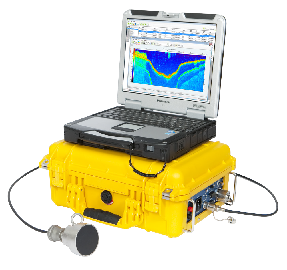
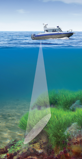
Our complete Aquatic Habitat Echo Sounder System lets you simultaneously acquire submerged aquatic vegetation, substrate, and bathymetry data using BioSonics’ Visual Acquisition software. In addition, with our Visual Aquatic software you can instantly create layered, colored, and contoured maps.
- Map submerged aquatic vegetation (SAV)
- Map eelgrass and other habitat areas
- Monitor invasive aquatic weeds
- Delineate areas of sand, mud, rock
- Generate contour profiles
- Shallow water mapping
Mobile survey deployment from small boats or research vessels in lakes, rivers, estuaries, or shallow marine environments.
OEM version for ASVs and ROVs features a compact electronics package ideal for small, autonomous, and remotely operated vehicles.

Product Features
- Portable, robust, weather resistant, and rugged with storage for cables and transducer
- Calibrated scientific system
- Complete with software for data acquisition, processing, visualization and mapping
- Integrated DGPS – all data time-stamped and geo-referenced
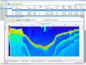
- High resolution, full color echogram
- Pole-mounted or hull mounted transducer options
- Wired or wireless Ethernet operation from notebook computer
- AC or DC (12V) operation
- Low power consumption
- Ping rate: 5 per second

Software Included
BioSonics MX Aquatic Habitat Echo Sounder System includes both Visual Aquatic and Visual Acquisition software.
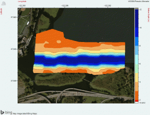
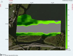
![]() Using data captured with Visual Acquisition, Visual Aquatic can quickly create layered, colored, and contoured maps or export edited data to CSV or KML file for third party GIS mapping. You can also easily import base maps (Google Earth, USGS, NOAA) and automatically generate geo-referenced, time-stamped data.
Using data captured with Visual Acquisition, Visual Aquatic can quickly create layered, colored, and contoured maps or export edited data to CSV or KML file for third party GIS mapping. You can also easily import base maps (Google Earth, USGS, NOAA) and automatically generate geo-referenced, time-stamped data.
- Bottom depth and substrate classification
- Submerged Aquatic Vegetation (SAV) presence, canopy height from bottom, and density
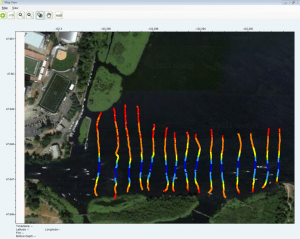
- Automatically view boat coverage transects
- Automatically view transect echograms
- Easily visualize, verify, and edit data using your mouse
Committed to Our Customers
